About ProjectX
What Is ProjectX
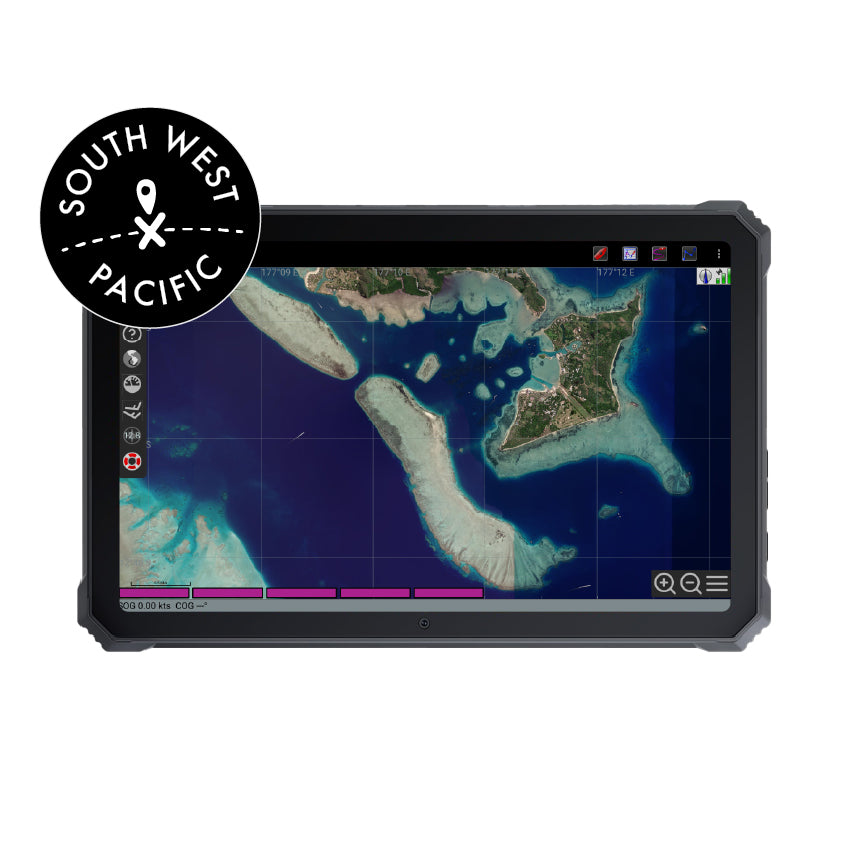
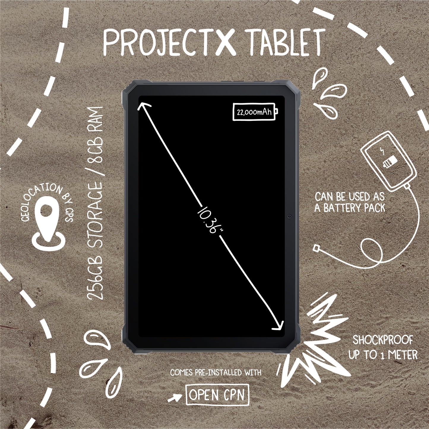
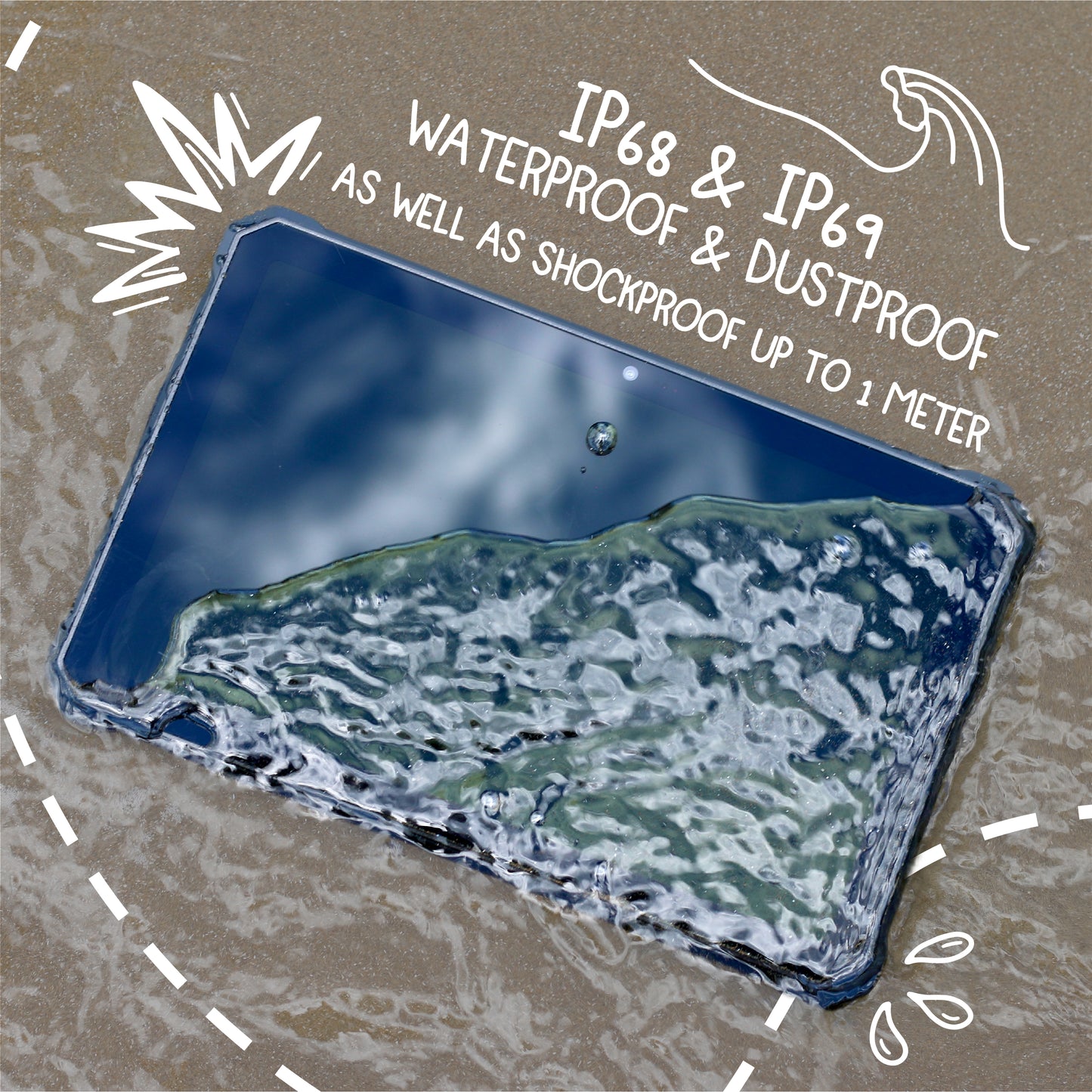
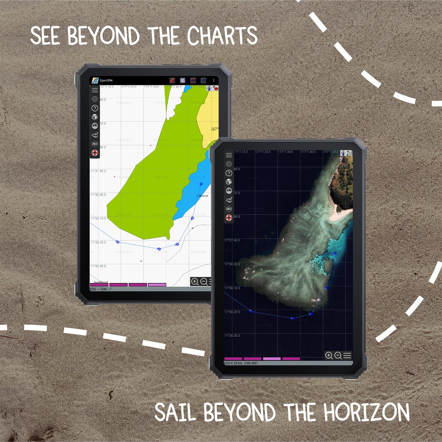
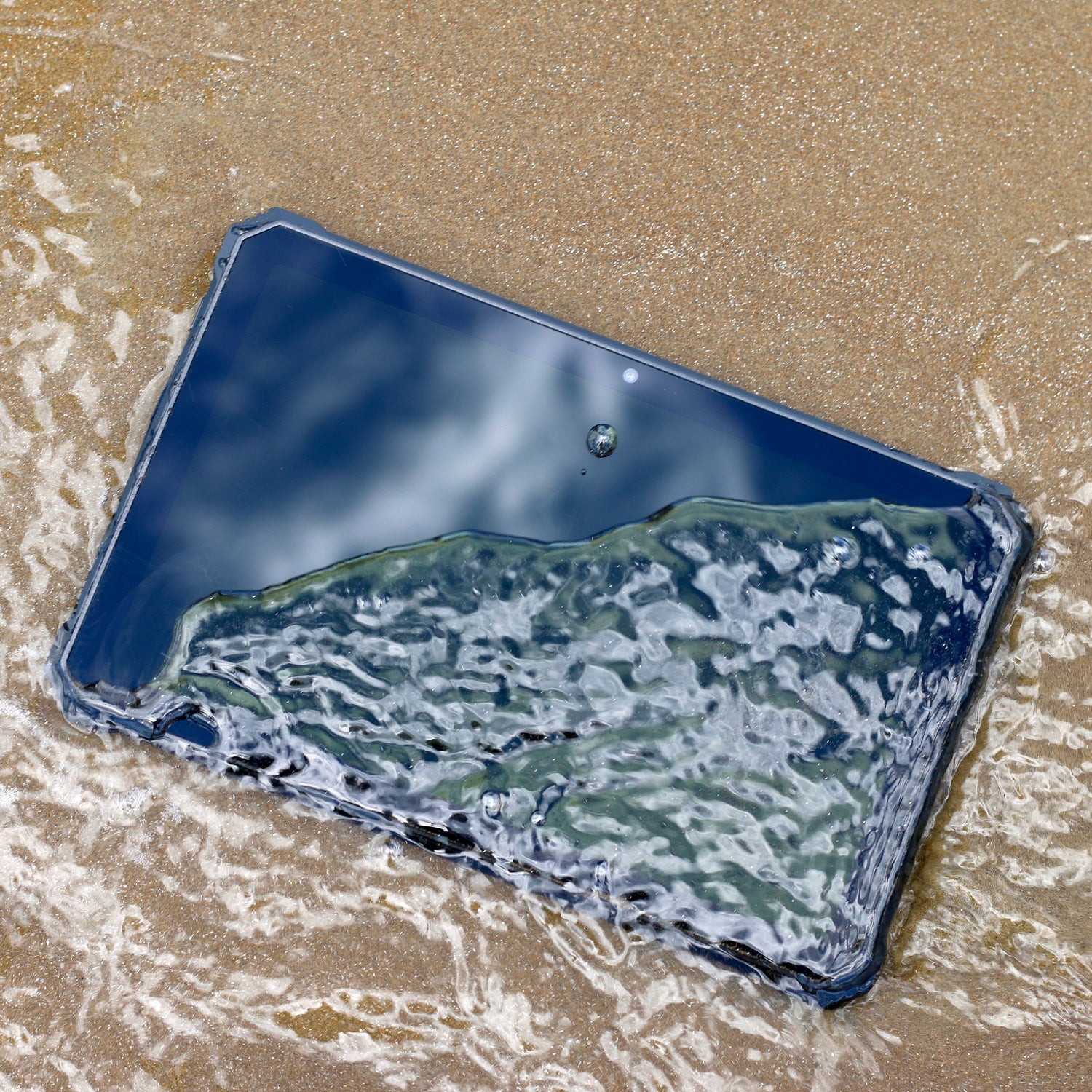
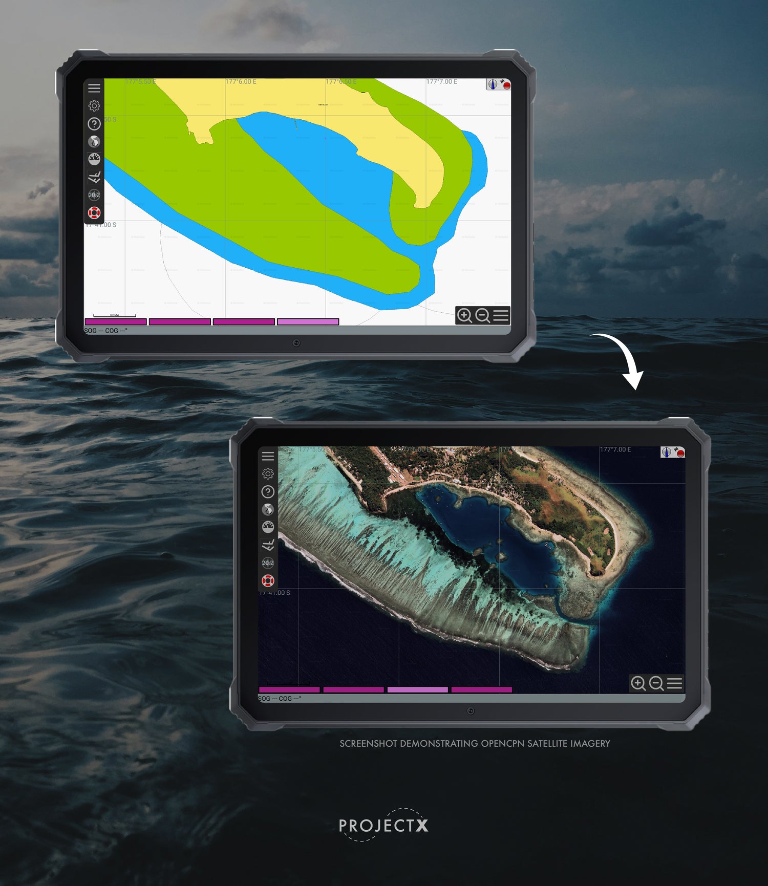
At ProjectX, we specialize in providing advanced navigation solutions for coastal sailors and passage makers. Our flagship product, the ProjectX tablet, is a rugged, military-grade, waterproof Android device designed to withstand the harshest marine environments and extended usage.
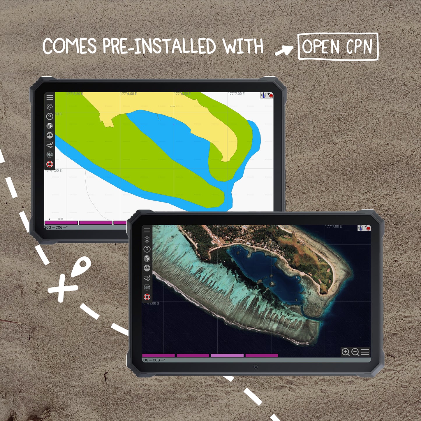
Equipped with OpenCPN and additional custom software tailored to your specific needs, ProjectX ensures precise and reliable navigation throughout the South Pacific. We can also offer dedicated training to help you get the most out of your navigation system, making your sailing adventures safer and more enjoyable.

What Is OpenCPN
OpenCPN (Open Chart Plotter Navigator) is a versatile and open-source chart plotting software designed for sailors and marine enthusiasts. Developed by a community of sailors and software engineers, OpenCPN provides users with the tools to create, view, and manage maritime routes. It supports a wide range of electronic chart formats, including raster and vector charts, and integrates seamlessly with GPS to offer real-time positioning and navigation. With features like route planning, weather overlays, AIS tracking, and radar integration, OpenCPN serves as a comprehensive solution for safe and efficient marine navigation. Its user-friendly interface and customizable plugins make it a valuable resource for both recreational and professional mariners around the world.